So many things to consider in preparation for a four month self supported
bike trip in a foreign country. Exactly what gear we are taking and how
we are managing our affairs at home may be of interest to some but not
others. I may include that in another post. I will mention here that
currently we are not planning on bringing a laptop so updates to the blog will
happen when it is convenient to use a internet cafe. Because the visits to internet cafes may be rather infrequent I am electing not to enable comments so as not to have late replies or to have to deal with spam or rude comments. We will be checking email so those of you that have our email fire away with any questions or comments.
We will be flying into Santiago in the early summer and heading south.
We could take a plane or bus from Santiago to the Lake District but are
electing to skip the extra transport time and expense and start riding. It is
roughly 600 miles to the Lake District. There are three basic options from
Santiago. One is to go over to the coast, the other down the central valley on
the Pan American Highway and the other is to cross over to Argentina and then
down the east side of the Andes. Unfortunately there are not a lot of side
roads that skirt the west side of the Andes between Santiago and the lake
district. Also there are not a lot of side roads off of the Pan American
Highway. The central coast of Chile has had a couple of very large earthquakes
in the last couple of years but from some initial inquires it sounds like that
would be an OK option. We are currently leaning toward down the
Argentinian side in the early summer and returning up the coast in what will be
their fall. We will get more info and decide in the couple of days we are
spending in Santiago.
Santiago should be quite warm compared to Bend Oregon in January. Santiago
is about the same latitude as Palm Springs California. From there we will
be headed south to likely as far as Torres del Paine which is about the same
latitude as Calgary. We will be crossing the Andes more than once on the
way down and back. Torres del Paine is what most people associate with
the name Patagonia from pictures and is notoriously cold and windy. It is kind
of hard to get too excited about going even further south to say Tierra del
Fuego on a bike. We'll see. We have only been as far south as Puerto Montt (41
degrees latitude about like northern California)
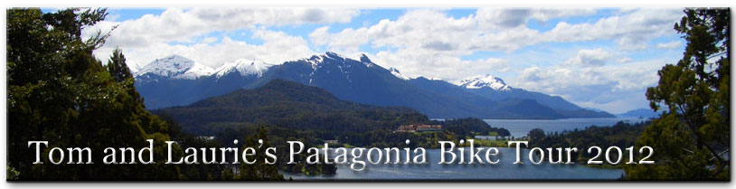
The climate of Patagonia very much resembles the climate of the west coast
of the US only upside down. Patagonia is actually about twice the size of
California and starts roughly at about the Latitude of Temuco in Chile at least
that is where the Patagonia maps typically start.